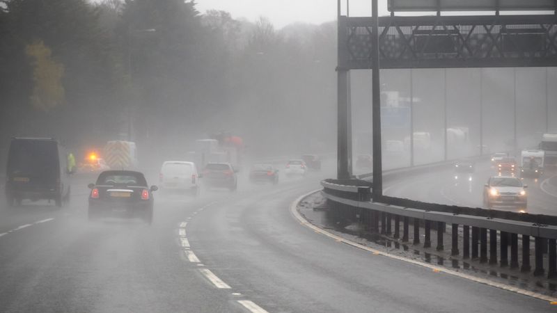
After a Met Office wind warning covered Kent's coast on Thursday, another blankets all of Kent and Medway on Friday as Storm Éowyn barrels across the UK.
A further rain warning on Sunday into Monday for Western parts of the county is also currently expected - bringing a risk of tricky driving conditions, delays and cancellations on the transport network and possible localised flooding.
During this run of wet and windy weather the Kent and Medway Resilience Forum (KMRF) is urging people to:
- HELP HM Coastguard by staying away from seafronts as gusts of up to 60mph will create powerful waves and spray
- KEEP well clear of power lines and report damaged lines to the UK Power Networks 24-hour hotline 0800 31 63 105
- CHECK if you qualify for free extra help in the event of a power failure, and if eligible sign up to the UK Power Networks Priority Services Register at Storm Prepare
- REPORT fallen trees to Kent County Council on 03000 418181 during normal office hours and 03000 419191 at all other times
- LOG issues on the roads with Kent County Council’s highways team online at www.kent.gov.uk/roads-and-travel/report-a-problem
- KNOW the latest flood risk where you live. To sign up for free flood warnings, visit www.gov.uk/check-flooding
The KMRF brings together a range of organisations and agencies involved in responding to emergencies to help protect Kent and Medway communities.

The Kent and Medway Resilience Forum is one a over 40 local resilience forums across England
KMRF’s Tactical Lead Andy Jeffery said: “There’s always uncertainty with weather and, whilst we should avoid the worst of Storm Éowyn, we could still see wind speeds of around 60mph in some exposed areas. We’re also keeping a close eye on the forecast for the weekend and into the start of the new working week.
“As we routinely do, the Kent and Medway Resilience Forum is taking guidance from the Met Office and working together to ensure everyone is prepared as they can be.
“Many partners, including Kent County Council and UK Power Networks, have extra staff available during this period to respond quickly to any issues. Environment Agency teams have also been out clearing trash screens to help ensure rivers can flow and reduce any flood risk.
“In turn, we ask that residents keep up to date with the forecast and travel advice and help the emergency services by not risking their life and others for that extreme-weather selfie.”
Everyone can keep #weatheraware by visiting the Met Office website or following the Met Office on social media including via Facebook, You Tube and X.
Drivers can keep up to date with the latest travel information by following @KCCHighways and National Highways South East via @HighwaysSEAST on X. For tips for driving in high winds and wet weather see this section of National Highways’ website.
Train and ferry users should check with their travel operator before setting off. Useful accounts to follow include: @LeShuttle_Help @PoD_travelnews @Se_Railway and @SouthernRailUK
Follow @EnvAgencySE on X for the latest flood updates.
Further information
- Visit Met Office and Kent Prepared for information about keeping safe in severe weather
- Ordering repeat prescriptions for yourself or vulnerable friends and relatives in plenty of time can also save you trips to the pharmacy when the weather is bad. More tips on winter health


